School nearby Rugamba Primary School
Rwanda
School nearby Rugamba Primary School
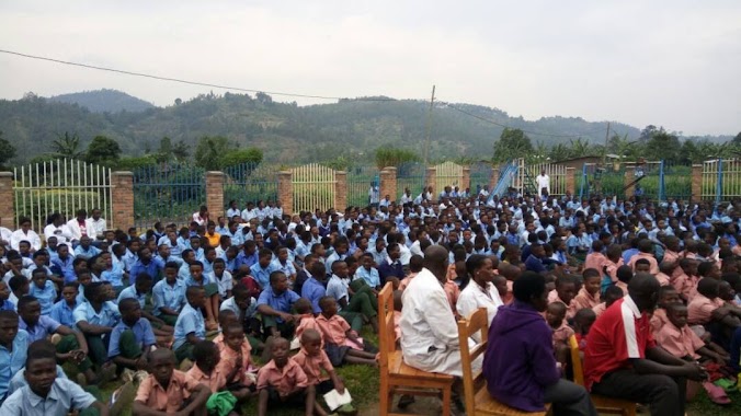
Rugamba Primary School
Ruanda
contacts phone
:
+250
Latitude:
-1.6728294
, Longitude:
29.4929668
larger map & directions
read more
nearest School
2.56 km
Ruhigiro Primary School
Rwanda
School
read more
3.109 km
GS Rambura Filles
Rwanda
School
read more
3.364 km
GS St Raphael Rambura
Rwanda
School
read more
4.122 km
Birembo Primary School
Rwanda
School
read more
4.685 km
Gasasa Primary School
Rwanda
School
read more
4.836 km
CS Rwantobo
Rwanda
School
read more
4.949 km
Cyamabuye School
Rwanda
School
read more
5.397 km
Kinyanja School
Rwanda
School
read more
5.889 km
GS Gatagara
Rwanda
School
read more
6.659 km
Bukinanyana ADEPR
Rwanda
School
read more
8.695 km
ISAE BUSIGO
Ruhengeri-Gisenyi Road
School
read more
9.919 km
Government School Nanga
Rwanda
School
read more
10.103 km
GS Rwankeri
Rwanda
School
read more
11.949 km
Gihorwe School
Rubavu
School
read more
12.079 km
CS Runigi
Rwanda
School
read more
12.648 km
GS Mutura I
Rubavu
School
read more
13.716 km
Mudende Primary School
Rubavu
School
read more
14.269 km
Ecole Primaire de Busogo II
Ruhengeri
School
read more
14.33 km
G S Busogo 1
Ruhengeri
School
read more
14.882 km
Bukonde Primary School
Ngororero
School
read more
16.822 km
Mubago
Ruhengeri
School
read more
16.953 km
Kabumba Primary School
Rubavu
School
read more
17.183 km
Kabere
Ruhengeri
School
read more
19.293 km
CMUM Bihe
Rwanda
School
read more
20.331 km
Bugeshi Primary School
Rwanda
School
read more
📑
all categories
Accounting
Administrative area level 1
Administrative area level 2
Airport
Amusement park
Art gallery
Atm
Bakery
Bank
Bar
Beauty salon
Bicycle store
Book store
Bowling alley
Bus station
Cafe
Campground
Car dealer
Car rental
Car repair
Car wash
Casino
Cemetery
Church
City hall
Clothing store
Colloquial area
Convenience store
Country
Courthouse
Dentist
Doctor
Electronics store
Embassy
Finance
Florist
Food
Furniture store
Gas station
General contractor
Grocery or supermarket
Gym
Hair care
Hardware store
Health
Hindu Temple
Home goods store
Hospital
Insurance agency
Jewelry store
Laundry
Lawyer
Library
Liquor store
Local government office
Locality
Lodging
Meal takeaway
Mosque
Movie theater
Moving company
Museum
Natural feature
Neighborhood
Night club
Painter
Park
Parking
Pet store
Pharmacy
Place of worship
Plumber
Point of interest
Police
Post office
Premise
Real estate agency
Restaurant
Route
School
Shoe store
Shopping mall
Spa
Stadium
Storage
Store
Supermarket
Taxi stand
Transit station
Travel agency
University
Veterinary care
sublocality level 1
↑