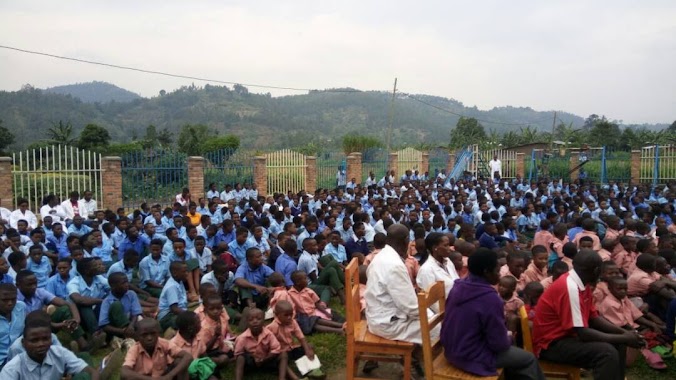
School nearby GS Tero
Rwanda
School nearby GS Tero
GS Tero
Ruhengeri, Rwanda
contacts phone
:
+250
Latitude:
-1.4753603
, Longitude:
29.5611164
larger map & directions
read more
nearest School
3.06 km
Muhe
Kinigi
School
read more
3.449 km
Kampanga
Kinigi
School
read more
3.947 km
Musanze II
Rwanda
School
read more
4.091 km
Nyamulimirwa
Ruhengeri
School
read more
4.152 km
Kagano
Rwanda
School
read more
4.317 km
Kivumu
Ruhengeri
School
read more
4.515 km
GS Rushubi
Ruhengeri
School
read more
4.586 km
GS Bisate
Ruhengeri
School
read more
5.883 km
Fair Children/Youth Foundation
Ruhengeri
School
read more
6.045 km
Ruhehe Secondary School
Ruhengeri
School
read more
6.396 km
Horizo Sopyrwa
Ruhengeri
School
read more
6.665 km
Gahondogo
Rwanda
School
read more
6.809 km
Kitabura
Ruhengeri
School
read more
7.24 km
Bukane
Ruhengeri-Gisenyi Road, Ruhengeri
School
read more
8.998 km
Ecole Primaire de Busogo II
Ruhengeri
School
read more
9.265 km
St. Vincent
Ruhengeri
School
read more
9.276 km
Ecole Secondaire Saint Cincent Muhoza
Ruhengeri
School
read more
9.343 km
Sisters of St Vincent of Paul
Avenue de la Nutrition, Ruhengeri
School
read more
9.353 km
G S Busogo 1
Ruhengeri
School
read more
9.74 km
Kabere
Ruhengeri
School
read more
10.186 km
Amahoro Children's School
Ruhengeri
School
read more
10.644 km
Mubago
Ruhengeri
School
read more
13.217 km
GS Rwankeri
Rwanda
School
read more
13.836 km
Government School Nanga
Rwanda
School
read more
18.094 km
Gihorwe School
Rubavu
School
read more
📑
all categories
Accounting
Administrative area level 1
Administrative area level 2
Airport
Amusement park
Art gallery
Atm
Bakery
Bank
Bar
Beauty salon
Bicycle store
Book store
Bowling alley
Bus station
Cafe
Campground
Car dealer
Car rental
Car repair
Car wash
Casino
Cemetery
Church
City hall
Clothing store
Colloquial area
Convenience store
Country
Courthouse
Dentist
Doctor
Electronics store
Embassy
Finance
Florist
Food
Furniture store
Gas station
General contractor
Grocery or supermarket
Gym
Hair care
Hardware store
Health
Hindu Temple
Home goods store
Hospital
Insurance agency
Jewelry store
Laundry
Lawyer
Library
Liquor store
Local government office
Locality
Lodging
Meal takeaway
Mosque
Movie theater
Moving company
Museum
Natural feature
Neighborhood
Night club
Painter
Park
Parking
Pet store
Pharmacy
Place of worship
Plumber
Point of interest
Police
Post office
Premise
Real estate agency
Restaurant
Route
School
Shoe store
Shopping mall
Spa
Stadium
Storage
Store
Supermarket
Taxi stand
Transit station
Travel agency
University
Veterinary care
sublocality level 1
↑