Hospital nearby Center Disabled
Rwanda
Hospital nearby Center Disabled
Center Disabled
Goma, Demokratische Republik Kongo
contacts phone
:
+250
Latitude:
-1.6706292
, Longitude:
29.2320228
larger map & directions
read more
nearest Hospital
451 m
Centre Hospitalier CBCA Virunga
Goma
Hospital
read more
915 m
Centre Murara
Goma
Hospital
read more
928 m
Health Center Social Home
Goma
Hospital
read more
1.248 km
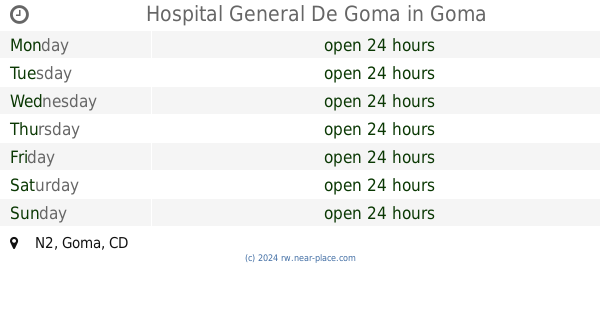
Hospital General De Goma
N2, Goma
Hospital
read more
1.761 km
Belle Vie - Centre hospitalier
Goma
Hospital
read more
1.769 km
Government Hospital
Goma
Hospital
read more
1.781 km
Clinical Latlong International
Avenue de la Paix, Goma
Hospital
read more
1.936 km
CIMAK
Goma
Hospital
read more
1.948 km
Charité Mother
Avenue mwangaza, Goma, République démocratique du
Hospital
read more
1.971 km
Jubilee Center
Goma
Hospital
read more
2.015 km
Hospital General Reference Of Goma Charité Maternelle
Goma
Hospital
read more
2.084 km
HEAL Africa Hospital
Goma
Hospital
read more
2.188 km
Monusco Level Iii Hospital
Goma, République démocratique du
Hospital
read more
2.403 km
Medical Clinic De L'arche
Near bus terminal, Gisenyi
Hospital
read more
2.409 km
Medical Clinic De L'arche
Unnamed Road, Gisenyi
Hospital
read more
2.518 km
Charité Mother
Goma
Hospital
read more
2.662 km
Murara Health Centre
Gisenyi
Hospital
read more
2.943 km
Clinical Latlong
220 Avenue de la Paix, Goma
Hospital
read more
3.336 km
Iwacu Clinic
Gisenyi
Hospital
read more
3.829 km
Kalehe
162, Bukavu, Kinshasa
Hospital
read more
4.162 km
Clinic Horana Ubuzima LTD
Gisenyi
Hospital
read more
4.498 km
Ndengera Health Post
Gisenyi
Hospital
read more
4.776 km
Hôpital De Gisenyi
Gisenyi
Hospital
read more
5.086 km
Gaia Asbl / Projet Centre Hospitalier Olame / Cajed
Goma
Hospital
read more
5.202 km
Mental Health Center De Goma
Goma
Hospital
read more
📑
all categories
Accounting
Administrative area level 1
Administrative area level 2
Airport
Amusement park
Art gallery
Atm
Bakery
Bank
Bar
Beauty salon
Bicycle store
Book store
Bowling alley
Bus station
Cafe
Campground
Car dealer
Car rental
Car repair
Car wash
Casino
Cemetery
Church
City hall
Clothing store
Colloquial area
Convenience store
Country
Courthouse
Dentist
Doctor
Electronics store
Embassy
Finance
Florist
Food
Furniture store
Gas station
General contractor
Grocery or supermarket
Gym
Hair care
Hardware store
Health
Hindu Temple
Home goods store
Hospital
Insurance agency
Jewelry store
Laundry
Lawyer
Library
Liquor store
Local government office
Locality
Lodging
Meal takeaway
Mosque
Movie theater
Moving company
Museum
Natural feature
Neighborhood
Night club
Painter
Park
Parking
Pet store
Pharmacy
Place of worship
Plumber
Point of interest
Police
Post office
Premise
Real estate agency
Restaurant
Route
School
Shoe store
Shopping mall
Spa
Stadium
Storage
Store
Supermarket
Taxi stand
Transit station
Travel agency
University
Veterinary care
sublocality level 1
↑